From US$500
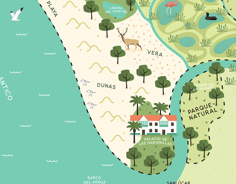
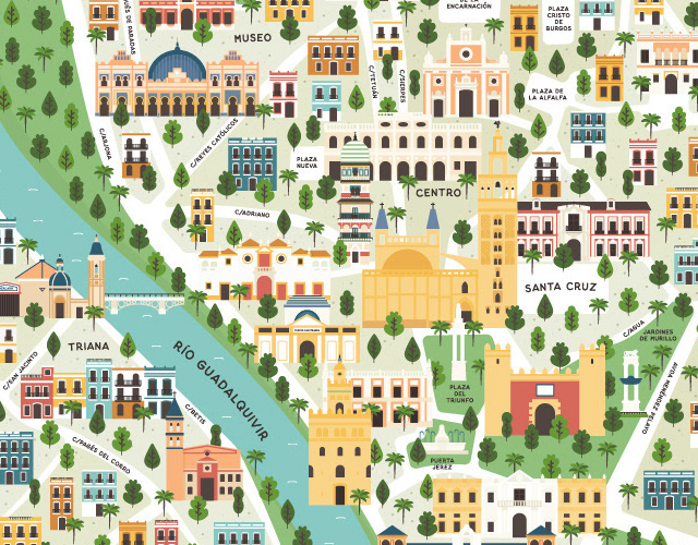
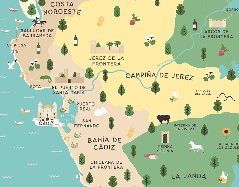
Illustrated maps have many applications: they help us to situate ourselves and recognise the spaces we inhabit, but they also serve, among other things, to show information in a very visual way. The elaboration of each of my maps requires a previous research of the territory. Of course the geography, but also the villages and their inhabitants, the local products, the architecture, the flora and fauna of each area. The wonderful thing about maps is that they are infinite!
Within 1-2 weeks
3 concepts, 2 revisions
Carolina Saiz
6
Spain
Responds quickly